AI Enablement & Organizational Transformation.

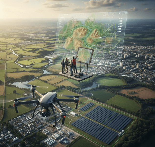
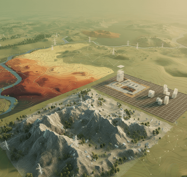
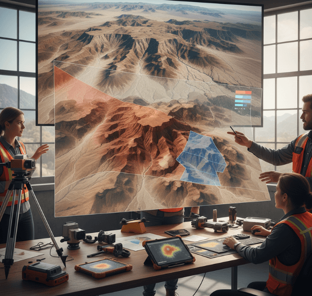
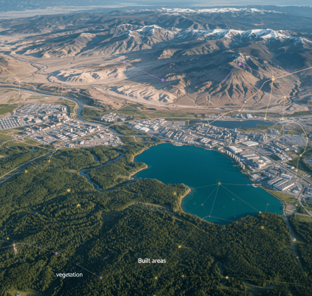
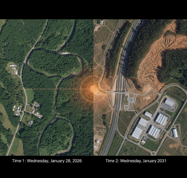
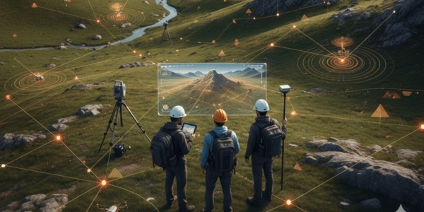
We help organizations process drone imagery into structured terrain maps and analytical models using AI-assisted workflows that support surveying, monitoring, and planning across varied operational environments.

Why Traditional Terrain Mapping Falls Short?

Despite advanced drones, many teams struggle to consistently process large datasets, manage manual workflows, and extract meaningful terrain insights from aerial imagery.

Terrain

Manual Processing Overhead

Image stitching, elevation correction, and validation often require specialized expertise and time, slowing project timelines and increasing operational effort.

Precision Agriculture

Inconsistent Terrain Outputs

Varying data quality, terrain complexity, and processing methods can result in uneven accuracy across sites and repeated rework.

LivestockSmooth-Passenger-Experienc

Limited Analytical Capability

Traditional mapping focuses on visualization, offering limited support for change detection, classification, or deeper terrain analysis.

Solutions for AI-Assisted Terrain Mapping

Our solutions support structured processing and analysis of drone imagery, enabling teams to generate consistent terrain outputs aligned with project-specific requirements.

Orthomosaic Map Generation

Orthomosaic Map Generation

Create geo-referenced, high-resolution 2D maps from drone imagery for surveying, planning, and documentation workflows.

Digital Elevation Models (DEM, DSM & DTM)

Digital Elevation Models (DEM, DSM & DTM)

Generate elevation models supporting surface analysis, topographic assessment, and earthwork estimation across diverse terrain types.

3D Terrain Reconstruction

3D Terrain Reconstruction

Produce 3D terrain representations for visualization, slope evaluation, and volumetric assessment using processed aerial data.

Land Cover & Feature Classification

Land Cover & Feature Classification

Apply AI-assisted classification to identify vegetation, water bodies, built areas, and terrain features.

Change Detection & Temporal Analysis

Change Detection & Temporal Analysis

Compare terrain datasets over time to observe surface changes related to construction, erosion, or land-use variation.

Custom Model Configuration

Custom Model Configuration

Adapt processing workflows and AI models based on terrain conditions, sensor types, and project objectives.

How We Approach Terrain Mapping Projects?

We follow a structured workflow focused on data quality, transparency, and practical outputs that support operational and planning needs.

Terrain

Capture or Upload Footage

Drone imagery and sensor data are captured or uploaded, including RGB, thermal, LiDAR, or multispectral datasets.

Precision Agriculture

Drone Data Analysis

Aerial imagery and sensor outputs are reviewed to assess coverage, quality, and suitability for terrain processing.

LivestockSmooth-Passenger-Experienc

Data Processing

AI-assisted models and geospatial algorithms process imagery into terrain maps, elevation models, and feature layers.

Pipeline Inspection

Actionable Intelligence

Processed outputs are delivered as maps, models, and reports supporting terrain understanding and informed decision-making.

Who Can Leverage Drone Mapping Solutions?

Our terrain mapping solutions support industries where accurate terrain data informs planning, monitoring, and assessment activities.

Construction & Infrastructure

Support topographic mapping, progress tracking, and surface change analysis for construction and infrastructure projects.

Mining & Quarrying

Assist with excavation monitoring, terrain stability assessment, and operational planning using structured terrain data.

Agriculture & Land Management

Analyze elevation, drainage patterns, and land cover to support irrigation, planning, and land-use decisions.

Agriculture & Land Management

Analyze elevation, drainage patterns, and land cover to support irrigation, planning, and land-use decisions.

Customer Story

Supporting Terrain Analysis for Infrastructure Planning

Project's Summary

David Reynolds, Infrastructure Planning Manager, led a regional team needing consistent terrain mapping across multiple sites to support planning accuracy and monitor construction progress over time. We implemented an AI-assisted terrain processing workflow to standardize elevation modeling and enable periodic terrain comparisons using drone imagery collected during scheduled site surveys. Outcomes: 90% Employee Adoption Rate 3x Increase in Internal Innovation 100% Compliance with AI Policy

Our Tech Stack

Tech-stack
Folio3 AI leverages the world’s most powerful AI frameworks, models, and acceleration platforms to build secure, scalable, and production-ready AI solutions. Our expertise spans generative AI, deep learning, MLOps, and high-performance inference.

Frequently asked questions

Yes, workflows support imagery from various drone platforms and sensor configurations.
Accuracy depends on data quality, sensors, and project parameters defined during implementation.
Yes, processing steps and models are adapted to terrain conditions and project needs.
Yes. You get full access to our "AI Playbook," recording library, and cheat sheets. You own these assets forever to onboard future employees.

Ready to Discuss Your Terrain Mapping Needs?

If you’re evaluating ways to improve how drone terrain data is processed and used, we can help define a practical and scalable approach.

Contact Us
Ready to Discuss Your Terrain Mapping Needs
Contact

Let's get in touch

Fill the form below or Contact us at +1 408 365-4638 / email us via contact@folio3.ai

This site is protected by reCAPTCHA and the Google
  • 22+ Years

    of Experience In the AI Domain

  • 950+ Projects

    Delivered Worldwide

  • 99%

    Client Satisfaction

  • Est. 1995

    Founded

  • Same Day

    Response Guaranteed

Support

Contact Info

+1 408 365-4638
contact@folio3.ai

Map

Visit our office

6701 Koll Center Parkway, #250 Pleasanton, CA 94566