Artificial Intelligence
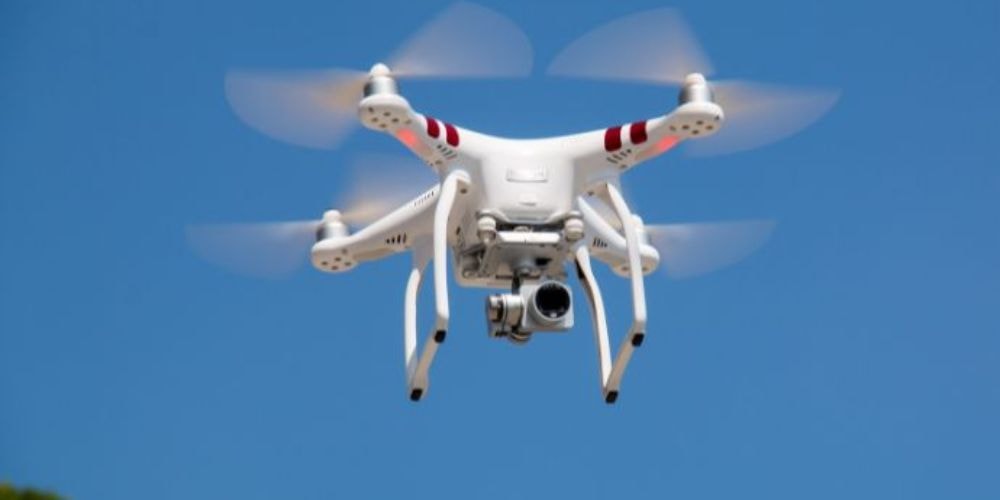
Drone inspection is the use of unmanned aerial vehicles equipped with cameras, thermal sensors, LiDAR, and analytics software to assess infrastructure, equipment, and environments remotely.

Drone inspection technology is transforming industries by making inspections safer, faster, and more cost-effective. Unlike traditional methods that demand heavy manpower and expose workers to risks, drones deliver accurate data in real time, without delays or hazards.
Today, sectors like renewable energy, agriculture, construction, and emergency services rely on drone inspections to boost efficiency, cut costs, and improve safety.
Drone inspection involves deploying unmanned aerial vehicles equipped with advanced sensors, cameras, and analytical tools to examine infrastructure, equipment, and environments.
This technology enables remote assessment of assets without requiring human presence in potentially dangerous or hard-to-reach locations.

Modern drone inspection systems deliver many advantages across industries, improving traditional assessment methods while enhancing safety protocols and operational efficiency.
Discover how drone inspections help teams collect real-time data, reduce manual risk, and streamline reporting across critical assets.
Book a DemoSuccessful drone inspection operations depend on integrated systems combining advanced hardware, intelligent software, and regulatory compliance to deliver reliable, actionable data.
Understanding drone platforms helps optimize inspection missions for specific environments and requirements while ensuring maximum operational efficiency.
Advanced sensor integration turns basic drones into sophisticated inspection platforms capable of detecting various defects and anomalies.
Intelligent software platforms convert raw drone data into actionable insights through automated analysis and comprehensive reporting capabilities.
Regulatory compliance ensures safe, legal drone operations while maintaining industry standards and protecting public safety interests.

Systematic inspection workflows ensure consistent, reliable results while maximizing safety and efficiency throughout the entire drone inspection process.
Drone inspection applications span diverse industries, each using specialized capabilities to address unique operational challenges and safety requirements.
AI-powered solar panel inspection technology improves renewable energy maintenance through automated defect detection and performance optimization.
Thermal cameras identify hotspots indicating damaged cells or electrical connections, enabling immediate repair intervention and preventing system-wide performance degradation issues.
High-resolution imagery detects dust, debris, and vegetation affecting panel performance, while shading analysis identifies obstructions reducing energy output throughout seasons.
Predictive maintenance reduces unexpected failures, extends system lifespan, and prevents minor issues from becoming costly repairs through data-driven scheduling optimization.
, provide comprehensive blade analysis and structural assessment capabilities for optimal renewable energy operations.
Ultra-high resolution cameras capture detailed blade surface conditions from multiple angles while automated flight patterns ensure complete coverage of components.
AI algorithms automatically identify cracks, edge damage, and surface erosion patterns, while lightning strike detection prevents catastrophic failures through intervention.
Rapid inspection completion reduces turbine shutdown time considerably compared to manual methods, while condition-based maintenance scheduling prevents unexpected production losses.
Specialized search and rescue drones provide life-saving capabilities in emergencies requiring rapid response and accurate victim location.
Quick deployment capabilities reach disaster areas within minutes, while all-weather operation enables search missions during challenging environmental conditions, eliminating personnel risks.
Thermal cameras detect human body heat signatures through vegetation and debris, while night vision capabilities extend search operations beyond daylight hours.
Real-time video streaming guides ground rescue teams to victim locations precisely, while two-way communication systems enable coordination between operations.
Advanced terrain mapping solutions deliver precise topographical data for construction, geological studies, and urban development planning.
Photogrammetry creates detailed 3D models from overlapping aerial photographs with centimeter accuracy, while LiDAR technology penetrates vegetation, providing elevation measurements.
Digital elevation models support flood risk assessment and drainage planning, while contour mapping provides essential data for construction site preparation.
Construction progress monitoring tracks project development against planned schedules while geological surveys identify mineral deposits and assess environmental impact risks.
Intelligent livestock management systems enhance agricultural efficiency through automated animal monitoring and health assessment capabilities.
Automated counting algorithms provide accurate livestock inventories across large pasture areas while movement pattern analysis identifies grazing behavior and efficiency.
Behavioral analysis identifies sick or injured animals requiring immediate veterinary attention, while body condition scoring assists in nutrition management decisions.
Automated monitoring eliminates need for daily manual livestock checks across vast areas while remote observation capabilities reduce labor costs considerably.
Despite significant advantages, drone inspection technology faces several operational constraints requiring careful consideration and strategic planning for successful implementation.
Strong winds, rain, and extreme temperatures considerably impact flight safety, while limited battery life restricts mission duration.
Complex airspace regulations and restricted zones near airports create compliance challenges requiring permits and operational limitations.
High-resolution imagery may capture sensitive information, and wireless transmission creates potential vulnerabilities requiring robust security measures.
Certified pilots require extensive training and technical expertise, and maintenance demands skilled technicians familiar with complex systems.
High initial investment in drones and sensors, plus ongoing maintenance expenses, can be prohibitive for smaller organizations.
Selecting appropriate drone platforms and supporting technology ensures optimal inspection results while maximizing return on investment for specific operational requirements.

Use AI-powered drone inspection solutions to improve safety, reduce downtime, and turn aerial data into faster maintenance decisions.
Book a DemoDrone inspection technology represents a significant shift in how industries approach safety, efficiency, and data collection across diverse operational environments.
From solar panel performance optimization to emergency search and rescue missions, industrial drone inspection solutions deliver unprecedented capabilities while reducing costs and risks considerably.
The integration of AI-powered analysis, advanced sensor technology, and cloud-based processing platforms creates comprehensive inspection ecosystems that enhance decision-making and predictive maintenance strategies.
Drone inspection costs vary considerably based on project scope, equipment requirements, and complexity, typically ranging from $500 to $5,000 per mission. Factors including flight time, data processing, specialized sensors, and reporting requirements influence final pricing structures.
Commercial drone operations require an FAA Part 107 Remote Pilot Certificate in the United States, obtained through a written examination and a background check. Additional certifications may be required for specialized operations like BVLOS flights or operations in controlled airspace.
Drones capture high-resolution images, videos, and sensor data (thermal, LiDAR, or multispectral). This data is processed using AI or specialized software to detect anomalies, generate reports, and provide actionable insights.
Drone inspections improve safety by reducing human exposure to hazardous locations, lowering costs through automation, and delivering more precise, real-time data. They also reduce downtime compared to manual inspections.
Industries include construction, energy (wind, solar, oil & gas), agriculture, mining, telecommunications, and infrastructure management. Drones are widely used for visual monitoring, compliance audits, and maintenance planning.
Drone inspections can achieve 95–99% accuracy depending on the sensors used. AI-powered analytics further enhance the detection of defects, corrosion, leaks, or structural damage compared to traditional visual checks.
Yes. They eliminate the need for workers to access hazardous environments like rooftops, towers, or confined spaces, significantly reducing injury risks.
Common sensors include thermal cameras (for heat detection), LiDAR (for mapping), RGB cameras (for visuals), and multispectral sensors (for agriculture and environmental monitoring).
Absolutely. Drones cut labor, equipment rental, and downtime costs. Companies often report up to 50% cost savings when replacing manual inspections with UAVs.
Regulations vary by country, but typically include FAA Part 107 (US), EASA (EU), or local aviation authority rules. They govern drone pilot certification, flight zones, and operational safety.
Yes. Operators use drone flight software for mission planning and AI-based platforms for data analysis. Training is often needed for drone piloting and interpreting inspection data.