AI Terrain Mapping Solutions
Precision Mapping Starts with AI and Drones
Upload data from any drone and turn it into detailed terrain maps, actionable insights, and business-ready reports. We build bespoke solutions that help your business capture, analyze, and visualize your environment.
AI-Driven Mapping, Data & Analytics
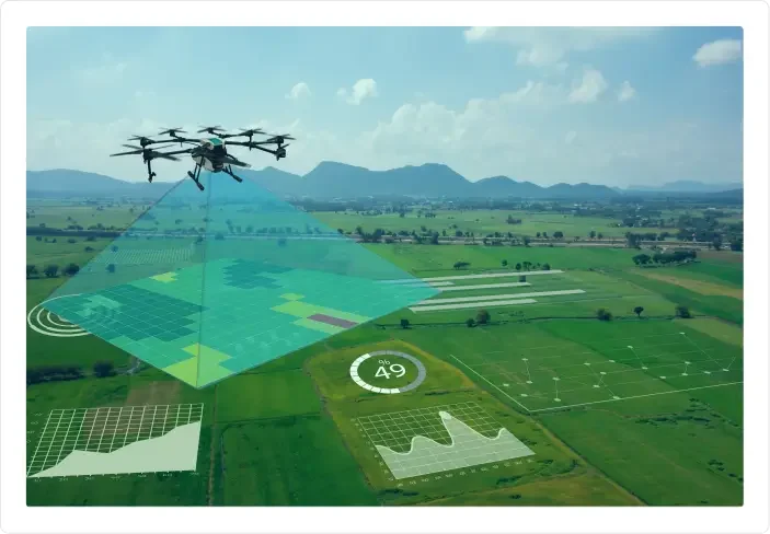
Utilize your drone data better with our intelligent terrain mapping solutions. Unlock the full potential of your drone data with our intelligent terrain mapping solutions. Our AI-powered solution transforms aerial imagery into detailed, accurate terrain models, automating everything from data processing to analysis.
Whether you are surveying land, monitoring environmental changes, or inspecting large-scale infrastructure, we tailor our solution to your operational needs.
Our Terrain Mapping Solutions with Drone Aerial Imagery
Unlock insights into your aerial data with our AI-enhanced terrain mapping services. We offer a suite of end-to-end solutions tailored to extract maximum value from drone imagery:
Orthomosaic Map Generation
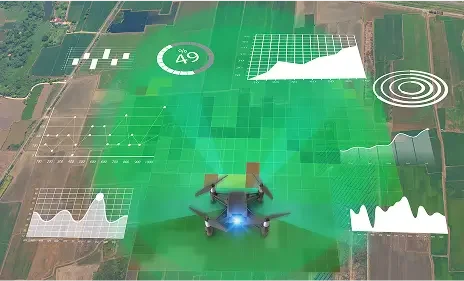
High-resolution, geo-referenced 2D maps built from drone images—perfect for planning, surveying, and documentation.
Digital Elevation Models (DEMs)
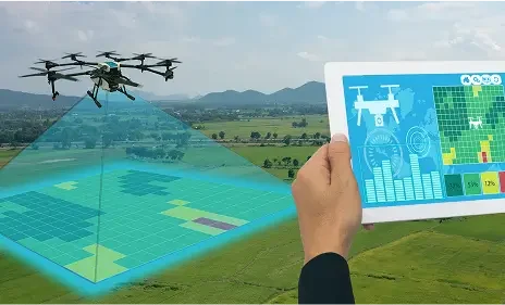
Create Digital Surface Models (DSM) and Digital Terrain Models (DTM) for accurate topographic analysis and earthwork calculations.
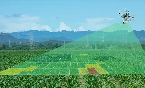
3D Terrain Reconstruction
Generate interactive 3D terrain models for in-depth visualization, slope analysis, and volume measurements.
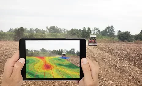
Land Cover & Feature Classification
AI automatically classifies land types (vegetation, water, built-up areas) and detects features like erosion, drainage paths, or man-made structures.
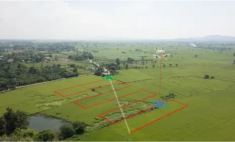
Change Detection & Temporal Analysis
Compare datasets over time to identify and track environmental or structural changes such as land shifts, deforestation, or construction progress.
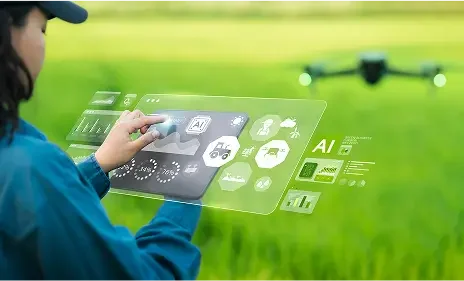
Custom AI Model Training
We develop and deploy custom AI models tailored to your terrain, project goals, and drone data sources, for industry-specific precision.
Benefits Of Using Drone Mapping Software With AI

High-Precision Elevation & Contour Mapping
Generate detailed Digital Elevation Models (DEMs), Digital Surface Models (DSMs), and contour lines with centimeter-level accuracy—ideal for site grading, flood modeling, and earthworks planning.

Faster Time to Insight
Manually stitching, processing, and analyzing terrain will takes minutes. AI automates the entire workflow, speeding up site surveys, terrain assessments, and reporting cycles.

Better Planning & Volume Estimation
Get accurate slope, area, and cut-and-fill calculations to improve planning for construction, mining, and excavation. Reduce waste, optimize material usage, and increase project ROI

Drone-Agnostic Flexibility
Use any drone or aerial sensor. Our solution processes imagery from any source, freeing you from vendor lock-in and letting you integrate with your existing fleet and workflows.

AI-Based Terrain Classification
Automatically classify landforms, surface types, vegetation, or structures using advanced AI models. Useful for land-use planning, environmental compliance, and resource mapping.

Support for Environmental & Agricultural Monitoring
Monitor terrain changes over time to detect erosion, water flow issues, or land degradation. Tailor terrain insights for crop planning, drainage optimization, and soil health assessments

Enhanced Accuracy Without Manual Intervention
Minimizes human errors by identifying terrain anomalies, smoothing elevation data, and intelligently correcting inconsistencies. Trusted outputs for regulated industries and critical infrastructure.

Secure & Scalable Cloud Processing
Handle large, high-resolution datasets with ease. High-performance processing for projects of any size, without overloading your local systems.
Who Can Leverage Drone Mapping Solutions?
Whether you're surveying a remote desert or managing a construction site, our platform delivers fast, scalable terrain analysis.

Construction & Infrastructure
- Generate topographic maps and elevation models
- Track site progress with change detection
- Measure cut-and-fill volumes accurately
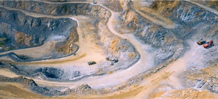
Mining & Quarrying
- Monitor excavation over time
- Detect slope instability and erosion
- Optimize safety with detailed terrain insights
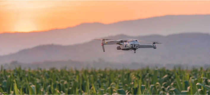
Agriculture & Land Management
- Analyze field elevation and water flow
- Classify land cover and crop zones
- Plan drainage and irrigation with precision
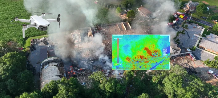
Environmental & Disaster Response
- Map flood zones or landslide risks
- Monitor environmental degradation
- Enable fast terrain assessment after natural disasters
How Does It Work?
We work closely with clients to create custom solutions that complement their business. Our solutions are designed to help clients analyze aerial drone survey data, create models, and derive actionable insights.

Drone Data Analysis
Analyze the range of aerial data from camera images and videos to information from other sensors, like thermal, LiDAR, etc., captured from drones.

Data Processing
We train our ML models and algorithms to your specific business use cases and to identify elements and anomalies.

Actionable Intelligence
Our solution distributes reports that outline analysis and identify anomalies that are discovered.
Why Choose Folio3 Terrain Mapping Solutions?
Sports and entertainment move fast, but most marketers are stuck with outdated, disconnected data. Folio3 Sponsorship Intelligence bridges that gap by delivering real-time, outcome-driven insights that transform exposure into performance.

20+ Pre-built Models Deployed
We have worked on multiple projects deploying more than 20 pre-built AI models on various global projects.

15+ Years of Experience
We have developed purpose-built AI solutions that help maximize performance based on more than 15 years of experience. We have worked in various scenarios that help us identify your problem quickly and develop insights.

1000+ Enterprise-Level Clients
Over the last 15 years, we've built an extensive client base of delighted customers!

Expertise in AI Integration
With years of experience in AI development, Folio3 seamlessly integrates artificial intelligence into drone technology, ensuring cutting-edge solutions tailored to your specific needs.

Comprehensive Industry Knowledge
Our team possesses in-depth understanding and expertise across various industries, allowing us to deliver customized AI drone solutions that address the unique challenges and requirements of your business.


