Wind Turbine Inspection Software
Wind Turbine Inspections with
AI-Driven Drone Data Analysis
Built for seamless integration with drone-captured imagery, our cloud-based AI solution automates defect detection, streamlines reporting, and delivers insight-rich results that drive safer, more proactive maintenance.
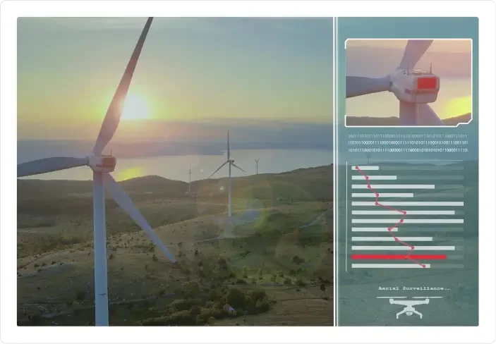
Better Turbine Inspections with Our Drone Data Software
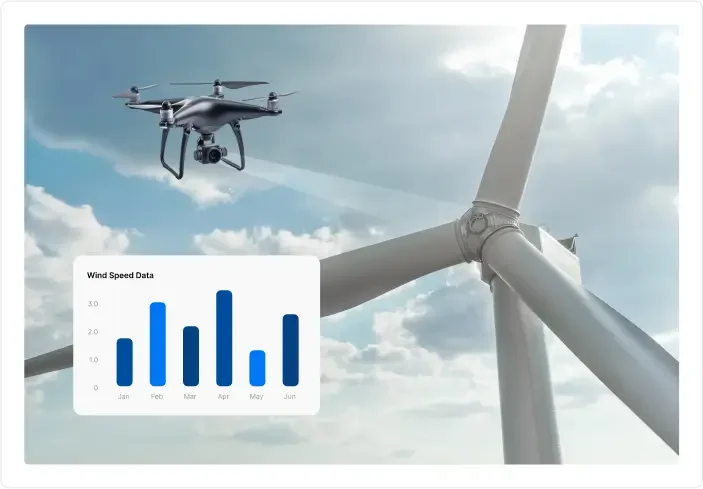
Our platform empowers renewable energy teams to process, analyze, and report on wind turbine inspections with unmatched speed and precision using imagery data captured by drones.
Key Benefits

AI-Powered Defect Detection
Identify blade cracks, erosion, lightning damage & more in minutes

Zero Hardware Commitment
Compatible with any drone or camera system

Smart Reporting
Auto-generate annotated reports for stakeholders in just a few clicks

Cloud Collaboration
Share, review, and approve inspections across teams

Regulatory-Ready
Built-in compliance support for safety and audit documentation
Powerful Inspection Features for Wind Turbine Maintenance

Image & Video Analysis
- Auto-tag issues across blade zones
- AI trained on thousands of turbine defects
- 3D inspection views and timeline tracking

Smart Reports
- Generate PDF reports instantly
- Export raw data, annotated images, and trend dashboards
- Custom templates for OEMs, operators, and service partners

Cloud Platform
- Centralized data library
- User roles & permissions
- API integration with CMMS
Turbine Inspection Use Cases in the Field

OEMs & Operators
Accelerate warranty claims with timestamped, AI-verified image evidence
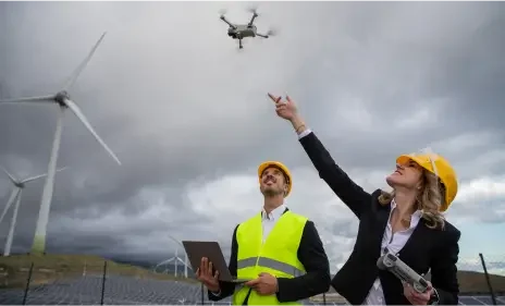
Asset Managers
Benchmark blade health across sites and fleets
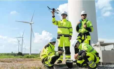
Inspection Companies
Add value to services by delivering AI-enhanced insights
Designed for Data, Not Drone Flying
We don’t fly drones. We make your drone data work harder.
Whether you are using in-house teams or third-party pilots, our software plugs directly into your image and video workflows, no manual sorting, no spreadsheet headaches.
Why Choose Folio3 Wind Turbine Inspection Solution?

20+ Pre-built Models Deployed
We have worked on multiple projects deploying more than 20 pre-built AI models on various global projects.

15+ Years of Experience
We have developed purpose-built AI solutions that help maximize performance based on more than 15 years of experience. We have worked in various scenarios that help us identify your problem quickly and develop insights.

1000+ Enterprise-Level Clients
Over the last 15 years, we've built an extensive client base of delighted customers!

Expertise in AI Integration
With years of experience in AI development, Folio3 seamlessly integrates artificial intelligence into drone technology, ensuring cutting-edge solutions tailored to your specific needs.

Comprehensive Industry Knowledge
Our team possesses in-depth understanding and expertise across various industries, allowing us to deliver customized AI drone solutions that address the unique challenges and requirements of your business.
AI Wind Turbine Inspection FAQs
How is AI used in drones?
AI enables drones to do more than just capture images or videos captured with the mounted camera. With AI, drones can now perceive and identify areas enabling them to map areas, track objects, detect anomalies, and provide analytical reports.
How are drones used for inspections?
Once the visual data is captured by the drone, the AI-powered software analyzes the footage/images to identify specific characteristics like objects, anomalies, or other factors like temperature ranges and after crunching that data presents it in insightful reports. Thereby, greatly reducing the time and effort required by conducting a manual inspection.
Are drone surveys accurate?
For drone surveying, accuracy can mean different things. Like, for conventional photogrammetric tech it can be higher resolution images as those are used to create 3D planes. Whereas advanced LiDAR technology might offer the same pixel sizes but offers a lot more useful data of topological characteristics. So, the technology being deployed goes a long way in determining the accuracy of the surveys.


